Having told in the previous album about Energodar, now we tell about
another Ukraine city Ц Zaporoziye. I was there in passing, so I will not
tell much; only of what is in photos.
And about the history of names. At the end of XVIII century there was
AlexanderТs Stronghold there, then it was AlexanderТs Posad, then it was
Alexandrovsk city (1806) and, finally, Zaporoziye (1921).
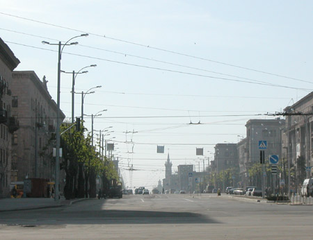
Lenin Prospect is the main prospect of
the city. They say it is the longest in former USSR. Outwardly it
remained me Moscowsky Prospect in St Petersburg (it is built up with
similar buildings according to similar principles). In a good meaning.
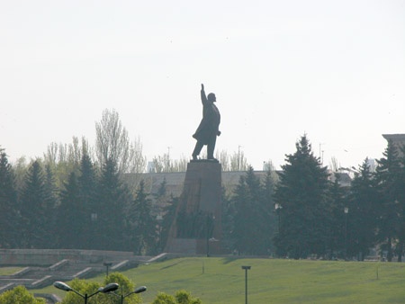
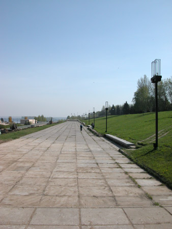
The prospect leads to Lenin Square in front of DneproGES.
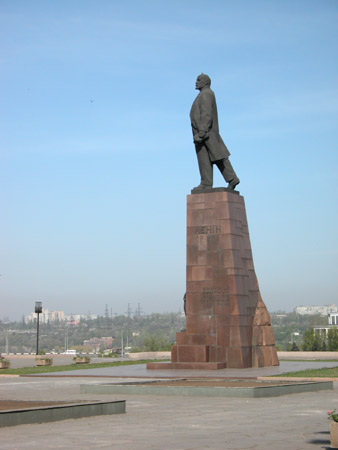
The embankment nearly is designed with
Lenin Square and appropriate monument, and it is paved with granite
flags.
The whole complex looks quite harmonious.
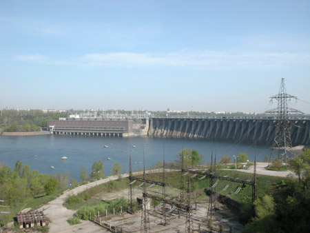
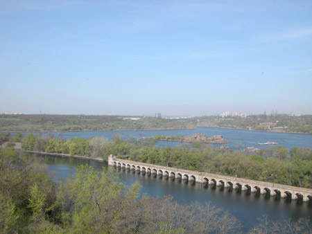
DneproGES is a quite impressive
construction.
The Electro Station project was adopted in 1925; they began building
in 1927; the first unit was started up in 1932 (there was the 70th
anniversary in 2002).
To 1939 the Electro Station reached its planned production capacity.
In the same time the city was a regional centre.
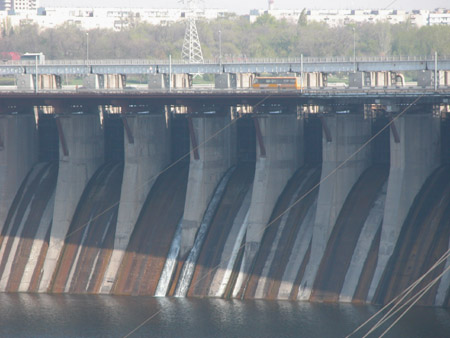
Pay attention to a building on the left (there are generators there);
it was build according to V. VesninТs group project Vesnin is a
constructivist architect of 1920s.
It is possible to estimate a scope here;
overhead it can be seen УIkarusФ bus.
Domestic engineers and workers
constructed the dam; Americans advised about.
The author of a technical project was A. Alexandrov; the Manager of
DneproBuilding was A.V. Vinter; the Chief Engineer was B.E. Wedeneev.
It was requested to construct a dam, electricity station, locks and
bridges. And, certainly, habitation, factories, and infrastructure had
been built before.
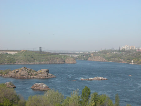
There is Khortitsa island on the left of
the photo (it is big, but it can not be seen on the photo). Thanks to
its nature it is declared to be a geological reserve, as well as
close-fitting mountains.
There is a Zaporoziye region called УRight BankФ on the right.
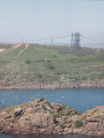
There is great number of gulls on
mountains.
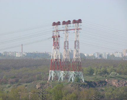
Domestic people call three towers as
УThree mastsФ
During the War, in 1943, fascists while
retreating detonated the hydroelectric power station, dam carriageway
and antechamber bridge.
Since 1944 to 1950 it was a rebuilding of DneproGES (УDneprostroy-2Ф)
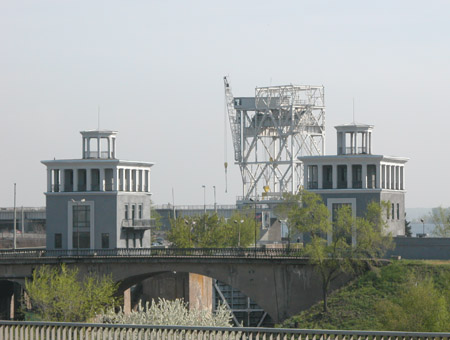
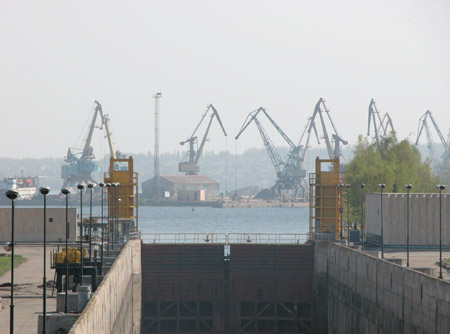
The lock.
Besides electricity,
DneproGES was to decide problem of thresholds, which made navigation
impossible. Dam building flooded 9 thresholds between Zaporoziye and
Dnepropetrovsk (water rose on 37.5 meters).
One of the locks has a level drop of 45 meters.
It is interesting, one of the problems, which did not allow a dam
building before the Revolution, was big number of churches in flooding
zone.
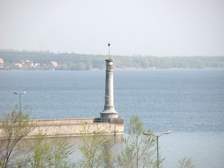
The lighthouse.
There is something is pictured or written there, but not
understandable from a distance.
In 1969-1980 DneproGES was reconstructed
to increase of lock capacity and dam carriageway. Also, at the left bank
one more control room was built. This period is called as
УDneprostroy-3Ф.
In 2002 stop beams (a metal wall before locks) repair
was made to take away thread of water break and banks flooding
accordingly.
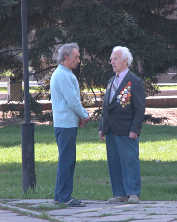
Well, we were in Zaporoziye in the 8th of
May, the day before Victory Date.
Flags along embankment are overgrown with
grass here and there; that makes a sense of some desolation.
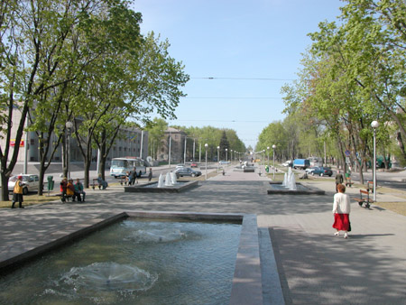
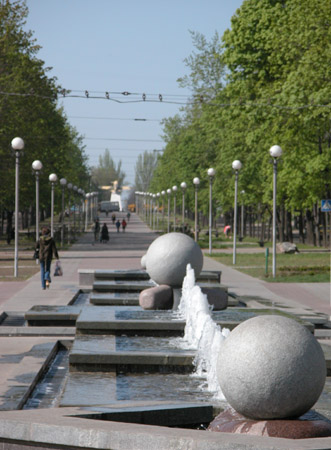
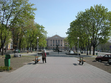
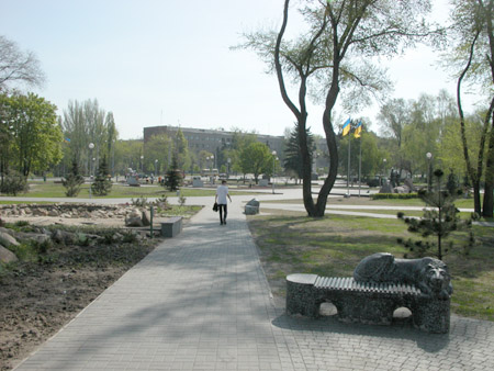
Now walk a little along Lenin Prospect.
Shevtchenko Avenue deviates from the Prospect. It was reconstructed
as a pedestrian zone, but much more respectable, than our Malaya
Koniushennaya/ Malaya Sadovaya and has a number of little fountains.
Inhabitants said, that the street is a merit of their last myor.
There is a building of city
administration in the distance.
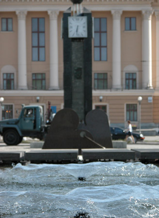
Water clock.
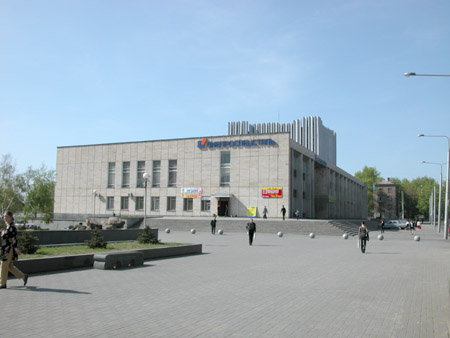
Inscription on the building says:
УDneprospetstalФ.
This is the Oktiabrsky Ц the Palace of Culture of УDneprospetstalФ
plant.
The biggest Palace of Culture in the city.
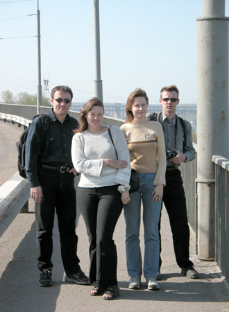
At the same place, near the fountains.
Sasha, Oksana, Yulia and Vitali.
Thanks
to Vitali and Oksana for transport and keeping company (by the way, on
the results of the trip I suggest to public a couple of albums in
addition to Zaporoziye and Energodar).
Thanks to Sasha and Yulia for showing the place, where DneproGES and
fountains are.